
India Supports UN Map Resolution but Insists on Accurate J&K, Ladakh Depiction
MEA clarifies vote backs equal-area maps, not specific projections or political boundaries
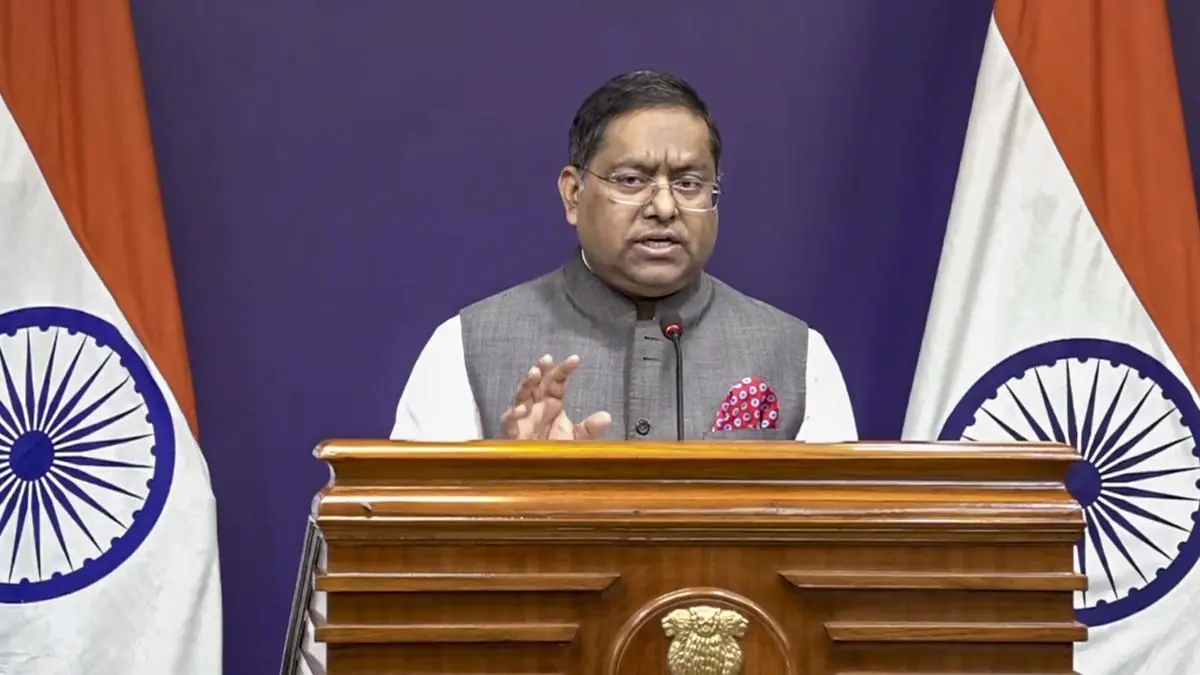
India voted in favor of a UN General Assembly resolution promoting equal-area map projections that preserve the relative sizes of continents. While supporting the resolution's principle, India emphasized that the depiction of its sovereign territory, including Jammu and Kashmir and Ladakh, must align with its official maps.
AI-generated · Verify with full article
See more of our coverage in your search results.

India voted in favour of a United Nations General Assembly resolution promoting equal-area cartographic representation, the Ministry of External Affairs said. The resolution, titled “Correct the Map: Rebalancing Global Cartographic Representation and Promoting Equitable Representation of the World’s Regions, Particularly Africa,” aims to encourage map projections that preserve the relative sizes of continents, MEA spokesperson Randhir Jaiswal explained.
The MEA clarified that the resolution neither adopts nor authenticates any particular world map, nor does it address political cartography, including international boundaries, disputed territories, or place names. "Our position is limited to the principle of encouraging equal-area approaches where the objective is to preserve the relative sizes of continental landmasses," Indian diplomat Raghoo Puri said while delivering India’s statement at the General Assembly.
Responding to concerns about territorial representation, Mr. Jaiswal emphasized that India’s sovereign territory, including the Union Territories of Jammu and Kashmir and Ladakh, must be depicted in accordance with India’s official map. "Our position on India’s sovereignty and territorial integrity is clear, consistent and non-negotiable," he added.
The map resolution was put forward by Togo and backed by all 54 nations in the African Union, aiming to address distortions in commonly used world maps that arise from projections prioritizing shape, direction, or distance over area. The MEA noted the resolution is technologically and methodologically neutral and does not endorse any specific map projection, including the Equal Earth projection.
India’s support reflects its agreement with the resolution’s underlying principle of promoting equal-area cartographic representation, while firmly maintaining its stance on accurate depiction of its territorial boundaries.
India has, therefore, voted in favour of this resolution.
Randhir Jaiswal, MEA Spokesperson
अक्सर पूछे जाने वाले सवाल
- What is the main goal of the UN map resolution?
- The resolution aims to promote map projections that preserve the relative sizes of continental landmasses.
- Does the resolution address political boundaries or territorial disputes?
- No, the resolution neither adopts nor authenticates political boundaries, disputed territories, or place names.
- Does the resolution endorse any specific map projection technology?
- No, it is technologically and methodologically neutral and does not endorse projections like Equal Earth.
AI-निर्मित · पूरी ख़बर से पुष्टि करें
50 free articles left today
0 of 50 free reads used today.
Most read

Comments
0 threadsNo approved comments yet. Start the discussion.