
UN adopts new world map showing Africa’s true size
164 countries back resolution to correct centuries-old map distortions
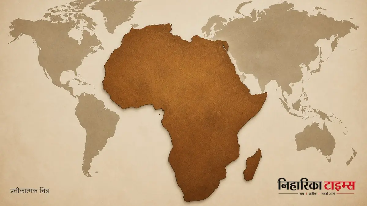
The United Nations General Assembly adopted a resolution to introduce a new world map that more accurately depicts Africa's true size, replacing the traditional Mercator projection. Supported by 164 countries as part of an African Union initiative, the move aims to correct long-standing distortions in global cartographic representation, while the United States opposed the resolution.
AI-generated · Verify with full article
See more of our coverage in your search results.

The United Nations General Assembly has adopted a resolution to introduce a new world map that more accurately reflects Africa’s true size and scale. The move, supported by 164 member states, aims to correct distortions caused by the traditional Mercator projection, which has long misrepresented Africa’s vastness.
The resolution was adopted as part of an African Union initiative promoting more accurate and equitable global cartographic representation, particularly of Africa. The current Mercator map projection, dating back to the 16th century, has been criticised for shrinking Africa’s size relative to other continents. Experts say this misrepresentation is not merely a cartographic error but a long-standing misinformation that affects perceptions of Africa’s resources, population, and investment opportunities.
Maps shape our understanding of the world, guiding education, nourishing imagination, and influencing collective perceptions, said a specialist. They stressed the importance of seeing accurate maps in schools, textbooks, newsrooms, businesses, and digital platforms used by billions daily.
The Togolese Foreign Minister Robert Dussey, speaking at a UN briefing, highlighted the significance of the vote. He noted the backing of the French Foreign Minister Jean-Noël Barrot, whose ministry plans to stop using the Mercator map externally. The resolution aims to replace the outdated projection with one that better represents the true scale of continents, especially Africa.
The United States opposed the resolution, but it was overwhelmingly supported by 164 countries. The adoption marks a historic step towards correcting a 450-year-old cartographic tradition and promoting a more balanced view of the world’s geography.
अक्सर पूछे जाने वाले सवाल
- Why was the traditional Mercator projection criticized?
- It shrinks Africa’s size relative to other continents, affecting perceptions of its resources and population.
- What is the main goal of the new map resolution?
- To promote more accurate and balanced global cartographic representation, especially of Africa.
- Who supported the new resolution at the UN?
- 164 member states supported it, along with backing from the French Foreign Minister.
- What changes will France make following the resolution?
- France plans to stop using the Mercator map externally in official capacities.
- How does map accuracy impact people’s perception?
- Accurate maps influence education, imagination, and global understanding across multiple platforms.
AI-निर्मित · पूरी ख़बर से पुष्टि करें
50 free articles left today
0 of 50 free reads used today.
Most read
Comments
0 threadsNo approved comments yet. Start the discussion.